
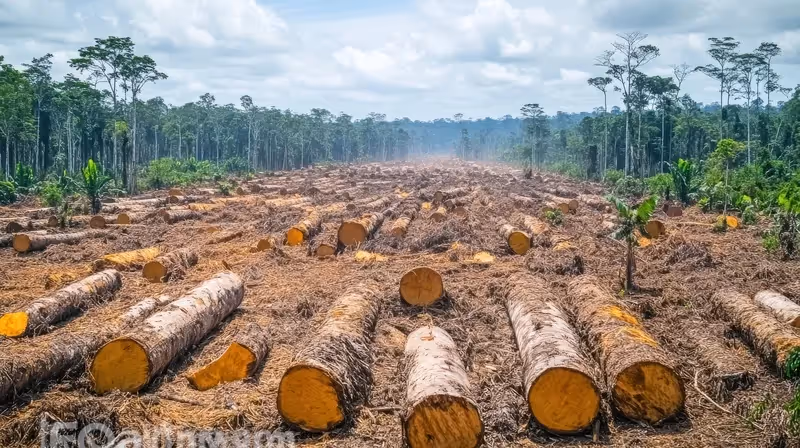
Tracking deforestation
AI can analyse satellite images to track deforestation in real time. This helps conservation groups and governments know where to focus their efforts to protect forests. For instance, Global Forest Watch in partnership with Google Earth Engine monitors forest cover in near real time and uses AI to create deforestation heat maps. GFW’s AI tools almost 90% accuracy and have helped reduce illegal logging by 22% in key areas, like the Amazon rainforest.
Predicting natural disasters
By analysing weather and climate data, AI can help predict natural disasters like floods and wildfires, giving communities more time to prepare and stay safe.
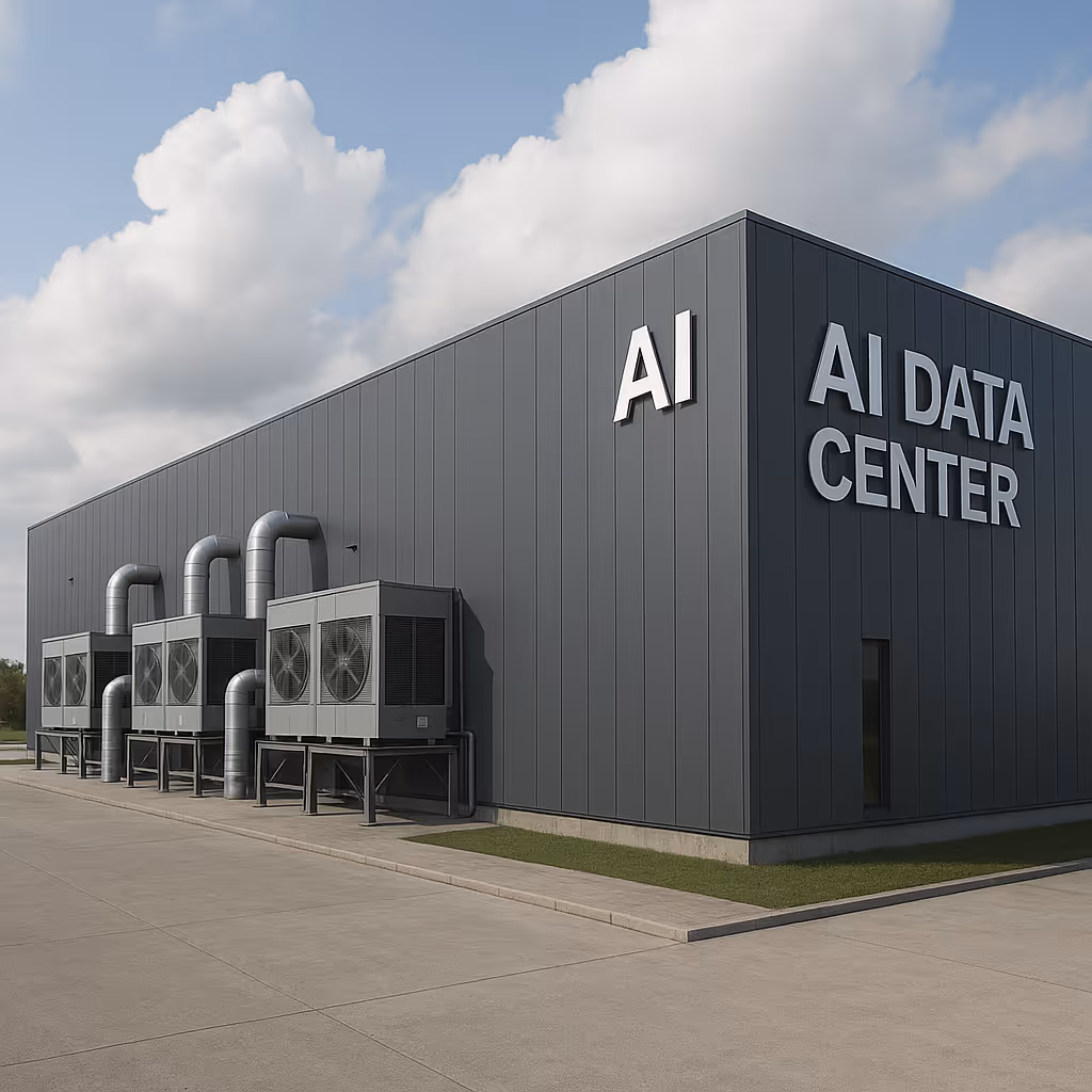
Reducing emissions
A study by the World Economic Forum found that AI could reduce greenhouse gas emissions by 1.5% to 4.0% across global industries.
Explore Related Resources


_(1).original.avif)


Our Supporters


.avif)